Pickering - Waterfront Trail (Montgomery Park Rd.)
Region/Township: Pickering
Coordinates: 43.811830 , -79.051772
Meeting Place/Parking: Take Brock Road south from Hwy # 401,turn left onto Montgomery Park Road, this road curves south. Meet at lake-side parking lot.
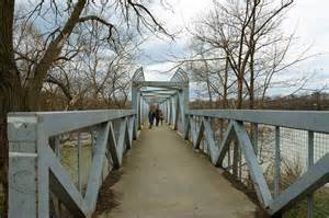
Terrain: Waterfront trail
Difficulty: Easy
General Description:
WebsiteMap
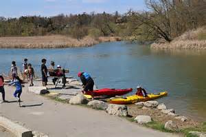
Waterfront Trail
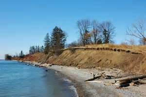
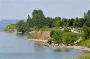
The Pickering Waterfront Trail is part of the 900 km Waterfront Trail, running along the shores of Lake Ontario and the St. Lawrence River from Niagara on the Lake to the Quebec border.
Pickering's leg of the trail is divided into 3 sections:
- First Nations Trail (3.5 km) - from Rouge River to the west shore of Frenchman's Bay
- Monarch Trail (4.7 km) - surrounds Frenchman's Bay and ends at Millennium Square
- Peak Trail (4.2 km) - from Millennium Square to the Ajax border
Main Access Points
The main access points with parking, include:
- Rouge Beach Park (Scarborough) - end of Lawrence Ave. East
- Entrance to Open Space at Bella Vista Drive - limited parking
- Petticoat Creek Conservation Area - foot of Whites Rd.
- Millennium Square - foot of Liverpool Rd.
- Alex Robson Park- near south end of Sandy Beach Rd.
- Foot of Frisco Road - limited parking