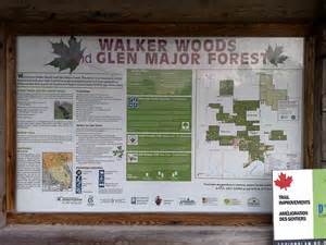
Uxbridge - Walker Woods East (Conc. 7 - microwave towers)
Region/Township: Goodwood
ORTA Map Number: ORTA Map 5
Coordinates: 44.0394862, -79.0892224
Meeting Place/Parking: Meet at parking lot on west side of Uxbridge Conc 7, 2 km south of Durham Road 21.
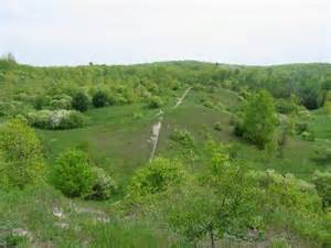
Terrain: Hilly
Difficulty: Moderate
General Description:
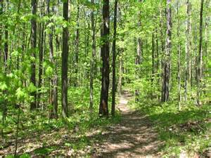
Managed by the Toronto Regional Conservation Authority (TRCA), these areas of environmentally significant forest on the Oak Ridges Moraine have upwards of 50 kilometres of trails cut through mixed deciduous and coniferous forest which provides many important environmental functions including:
- Habitat and food supply for a variety of birds and wildlife.
- Improved air quality by producing oxygen.
- Clean water entering Duffins Creek and replenishing groundwater storage.
- Better water infiltration.
- Slope stabilization.
The Ontario Heritage Trust owns approximately 72 hectares of land situated between Walker Woods and Glen Major Forest. This property provides a strategic natural corridor which links the two TRCA properties. The Ontario Heritage Trust and TRCA established a partnership in 1978 to ensure the protection of the natural, cultural and scenic features of the properties.
Address:
2998 Concession Rd 7
Goodwood, Ontario
Canada
2998 Concession Rd 7
Goodwood, Ontario
Canada