
Uxbridge - Glasgow/Goodwood (Conc. 2)
Region/Township: Goodwood
ORTA Map Number: ORTA Map 5
Coordinates: 43.991959, -79.203572
Meeting Place/Parking: Meet in the parking lot east side of Conc 2, 200M south of Webb Rd.
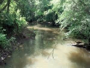
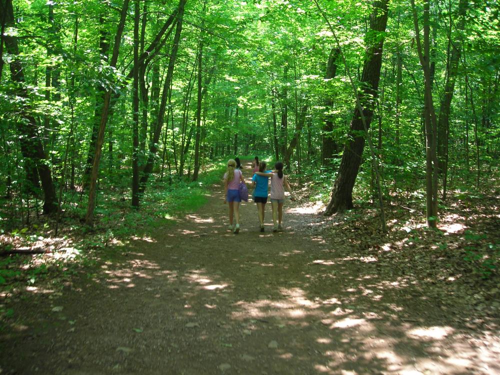
Terrain: Forest trail
Difficulty: Moderate
General Description:
South-west Uxbridge
This area, known as the West Duffins Headwaters area is developing quickly, although formal trails are yet to be opened. Plans are underway to extend trails in the Goodwood Tract and into the 7,200 acre federal Green Space lands with exciting potential future links to the Rouge Park and the urban Greater Toronto Area.