East Gwillimbury - North Nokiidaa Trail (Green Lane)
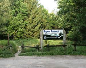
Meet at Rogers Reservoir front parking lot on the north side of Green Lane, 1.7 km west of Leslie St.
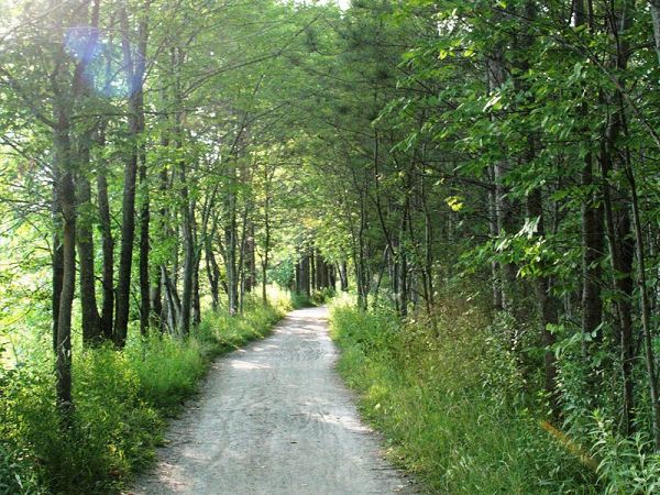
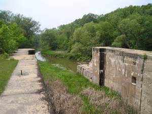
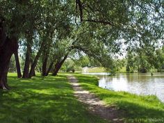
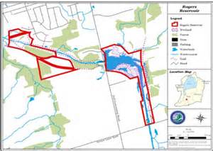
Rogers Reservoir Conservation Area is located on the Holland River, one kilometre south of the Mount Albert Road on the Second Concession. This shallow reservoir and marsh area attracts a variety of waterfowl and other marsh birds. The 96-hectare site is a great place to watch nesting birds, cast a fishing line, hike or cycle along trails. A viewing tower and trail system along the river make this park a popular spot for birders and hikers. Rogers Reservoir is also home to one of the locks along the "ghost canal" system - built to accommodate shipping between Newmarket and Lake Simcoe in 1911 and then never used. Remnants of the abandoned canal, a lock and swing bridge are located in the park. The trail is suitable for hiking, cross country skiing and snow shoeing. The trail has a length of approximately 2 km from Green Lane to the 2nd Concession.

Click here to view a larger, printable trail map.